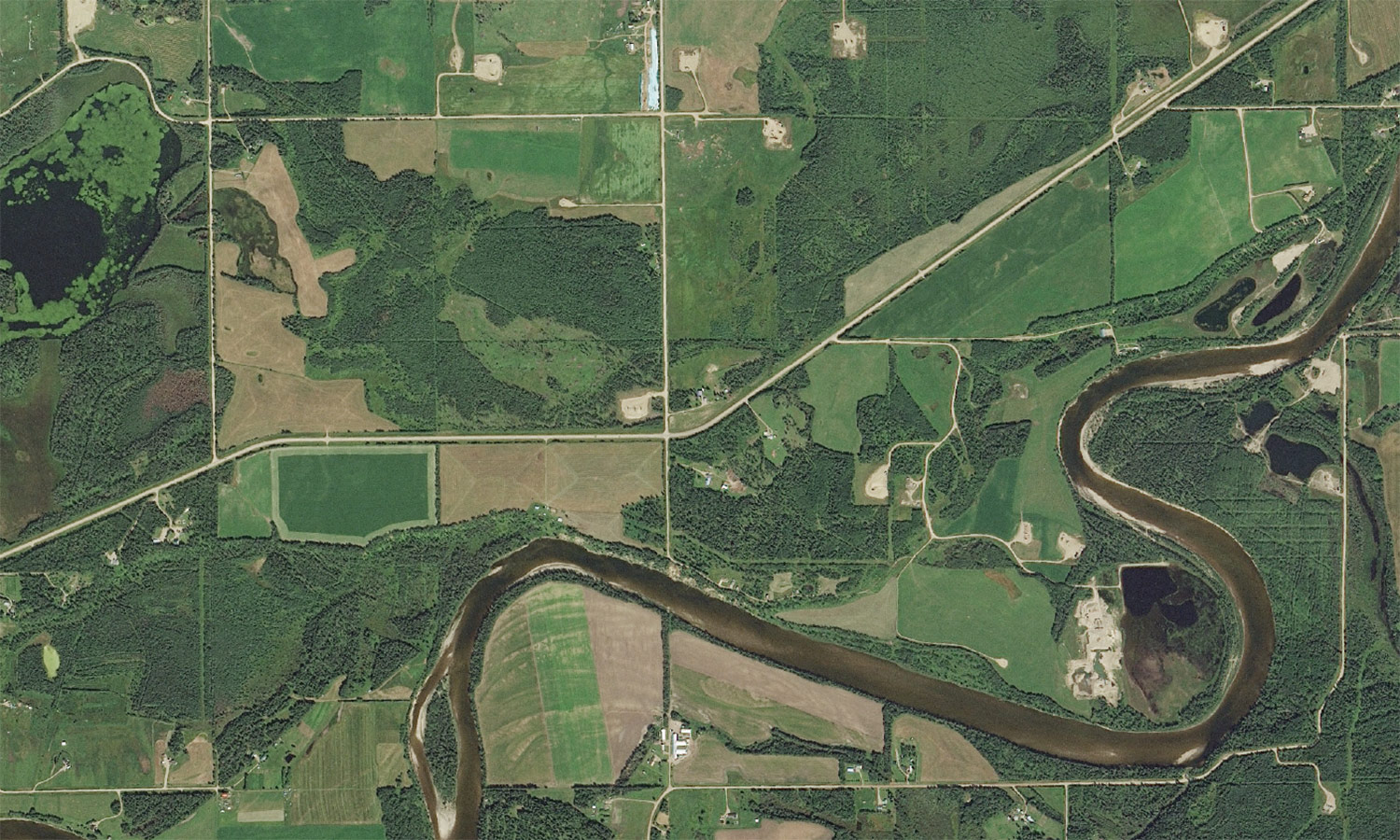
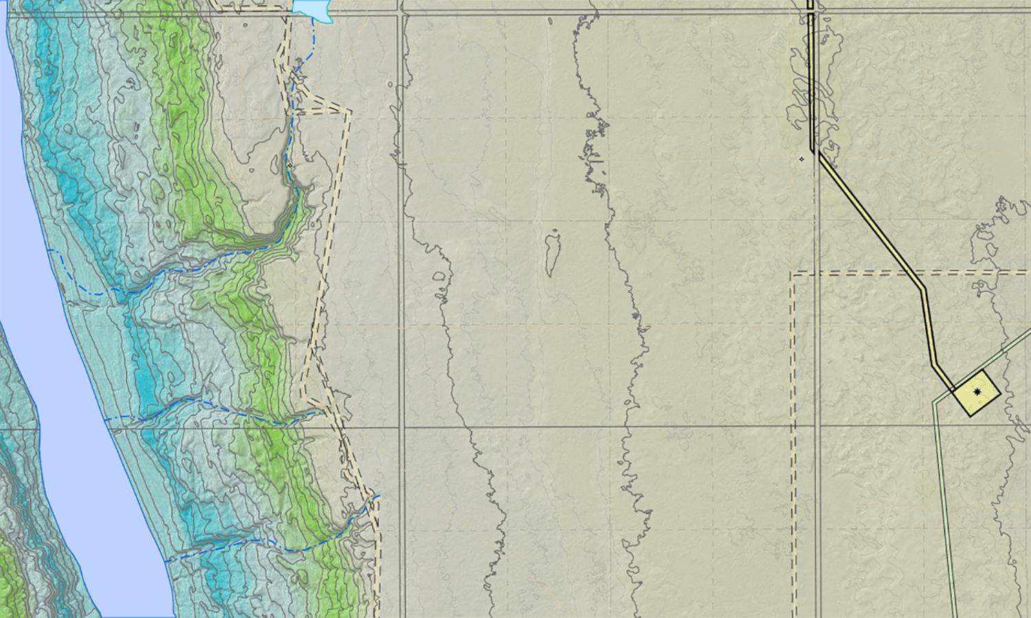
Orthomosiac and georeferenced imagery add visual dimension to mapping data to provide a comprehensive view of land features, topography and property boundaries.
Geo_Aerial-1500
Geo-aerial footage
Geo_Contour_Map-1500
Geo-contour map