GIS Data acquisition & management
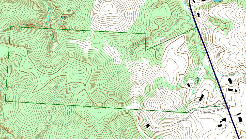
Information from GIS data sets and field data collection is incorporated into various software packages to produce high quality plans and products for our clients.

Information from GIS data sets and field data collection is incorporated into various software packages to produce high quality plans and products for our clients.

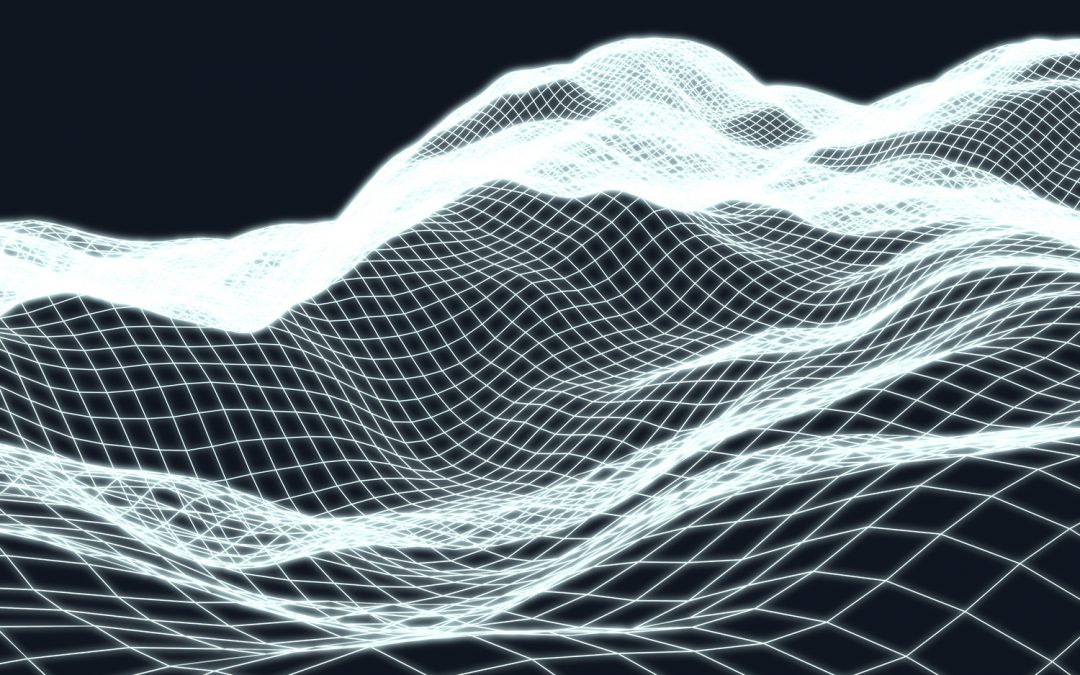
Quest’s approach to 3D planning combines terrain mapping (elevation data) with aerial imagery and other pertinent datasets.

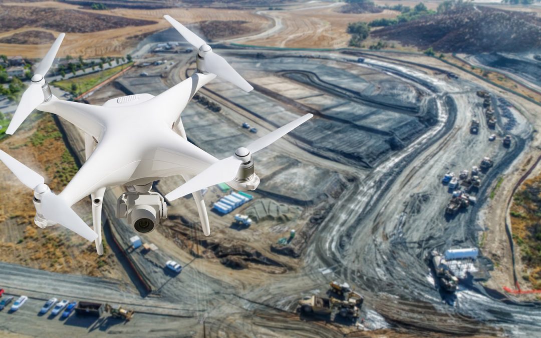
Aerial mapping and imagery are used in a wide variety of contexts, from land mapping to facility locates.
Recent Comments